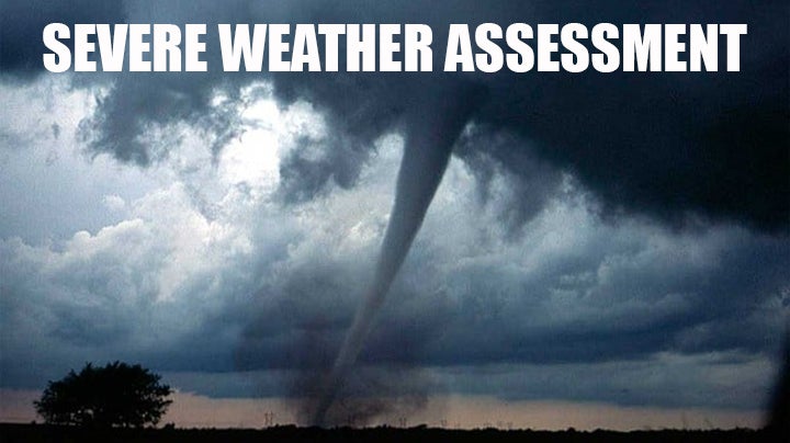
State at risk for severe weather today
Published 10:22 am Wednesday, December 23, 2015
The Mississippi Emergency Management Agency is asking residents to prepare for severe storms that could last through this evening.
During a severe weather call with the National Weather Service Tuesday, forecasters said the storms could bring all types of severe weather from damaging wind gusts to golf ball sized hail and even tornadoes.
“These storms are setting up to resemble some severe weather outbreaks like we have seen in the past,” said MEMA Executive Director Robert Latham. “It is important that everyone has a method to receive warnings of severe weather. Having a plan ahead of time could save your life.”
The highest risk area will be areas generally north of I-20, but the entire state is at risk for severe weather. Strong storms will remain possible into the early evening hours.
Many people could be out shopping or traveling for the holidays and out of their normal routine, so it is important to know how you will get an alert of severe weather in your area. There are many ways you can be alerted to severe weather warnings:
• NOAA Weather Radio: An essential tool that should be in every home or business.
• Wireless Emergency Alert Messages: Make sure these notifications are turned “on” in your phone settings.
• Smartphone Applications.
• Social media platforms like Facebook and Twitter.
• Local media.
• Community tornado sirens.
According to the NWS, from 1950 to 2014, Mississippi saw 153 tornadoes in the month of December. This makes December the sixth most active month for tornadoes behind April (365), March (232), November (231), May (204) and February (189).
For detailed preparedness information, contact your county emergency management agency or go to MEMA’s website at www.msema.org. The best way to get up-to-date information is to “Like” MEMA on Facebook or “Follow” it on Twitter.
More News


-
Polls
 Loading ...
-
-