National Weather Service confirms EF-1 tornado in Lincoln County
Published 7:58 am Wednesday, April 5, 2017
The National Weather Service confirmed an EF-1 tornado cut more than a 17-mile path through northwest Lincoln County early Monday morning, skirting along the northern city limits of Brookhaven.
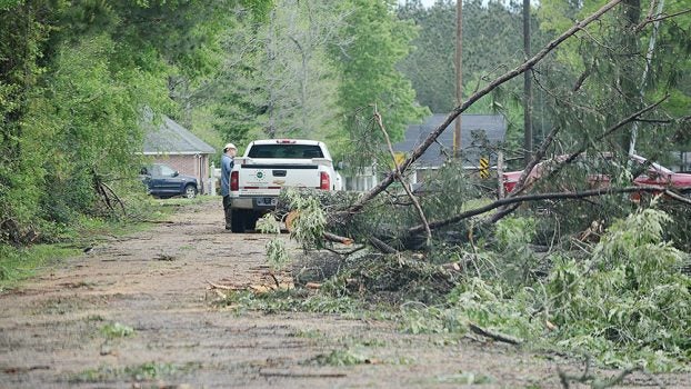
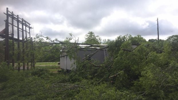
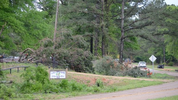
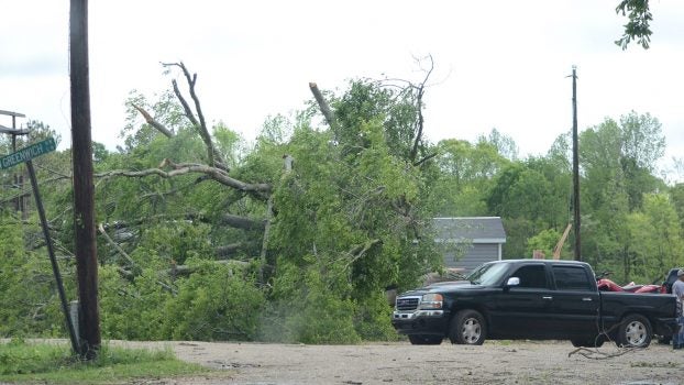
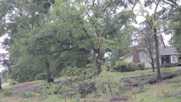
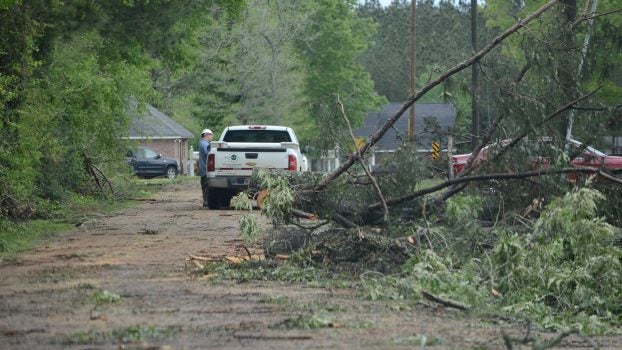
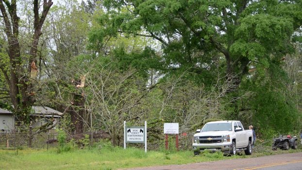
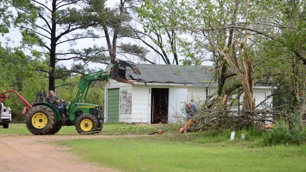
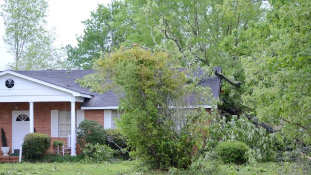
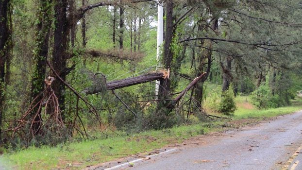
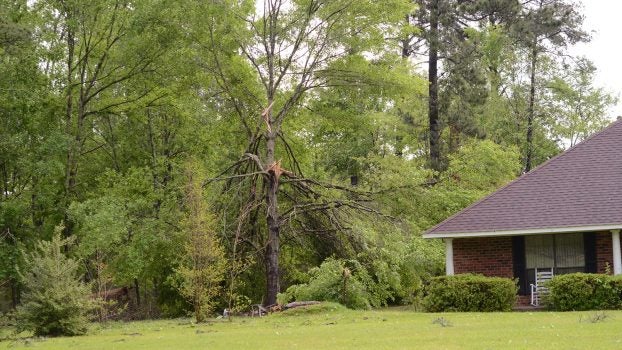
Survey teams were in Lincoln County Tuesday to study the effects of the tornado, which include damage to homes, sheds and carports from fallen trees.
They said the tornado reached maximum winds of 110 mph.
The tornado’s path was 17 and a half miles long and just over a half mile wide, said National Weather Service meteorologist Anna Wolverton. It started in Franklin County and moved northeast into Lincoln County, passing through the northern area of Brookhaven.
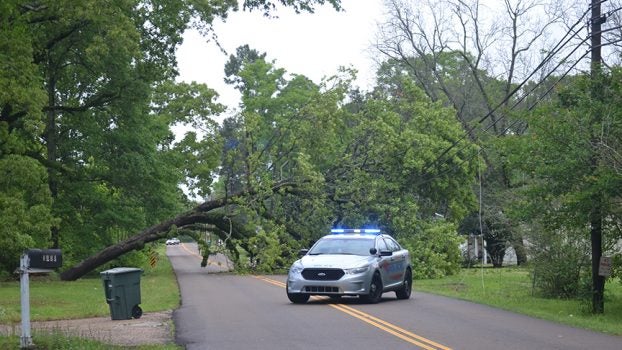
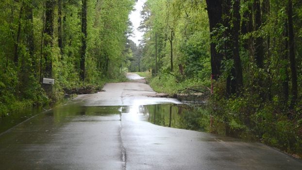
Thirty-five roads were blocked by trees and powerlines at one point Monday morning. Several roads in the county were also underwater.
No injuries were reported, Lincoln County Emergency Manager Clifford Galey said.
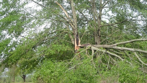
At Windwood Terrace, resident Jerry Hoeniges raked leaves. He said he thought at first it was straight-line winds but by daylight he knew it was a tornado because the tops were blown out of trees. “The damage is circular,” he said. “There’s no one direction it came from.”
Garrett Dunn on Dunn-Ratcliff Road had damage to most of his hardwoods. Many were either snapped or blown down. At a property down the road, pieces of tin from a barn were scattered in a pasture.
Trees were also blown down along Hwy. 51 north of Brookhaven and on Jackson Street in Brookhaven.
Debris from a nearby billboard damaged homes at Quality Homes of Brookhaven on Jakes Trail. Several trees were blown down along that road.
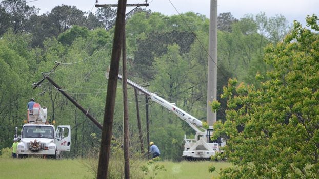
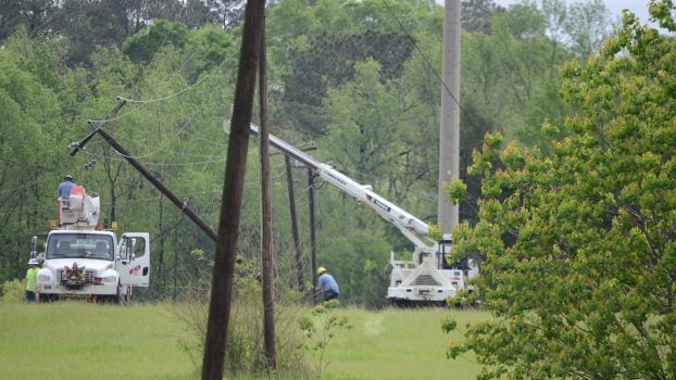
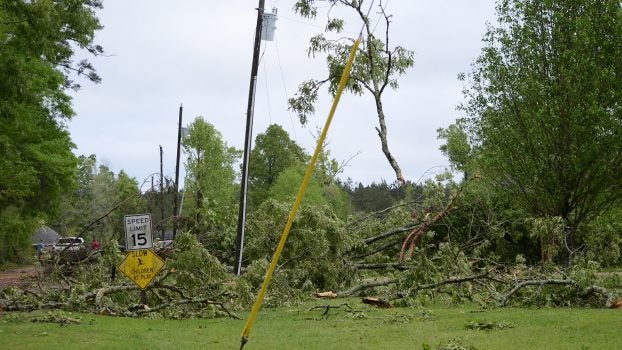
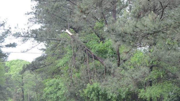
Power lines and power poles were damaged by the storm. More than 300 Entergy customers were without power Monday night. Magnolia Electric Power reported 450 customers without power earlier Monday, and Southwest Electric had about 2,400 without power. Power had been restored to all customers in Lincoln County by Tuesday night.
Flood watch
At 8:15 p.m. Tuesday, the Pearl River at Monticello was 21.8 feet with moderate flooding forecast.
The river will rise above flood stage by this morning and will continue to rise to near 26 feet by early Saturday morning. This crest compares to a previous crest of 27.8 feet on March 20, 2016.
At 26 feet water covers Old Highway 27 about seven miles north of Monticello near St. James Missionary Baptist Church.
At 25 feet water begins to flood lower portions of Cooper`s Ferry Park in Monticello. At 24 feet water appears in low areas in the extreme eastern portion of the city of Monticello. At 22 feet water inundates some lowland and agricultural land near the river.


