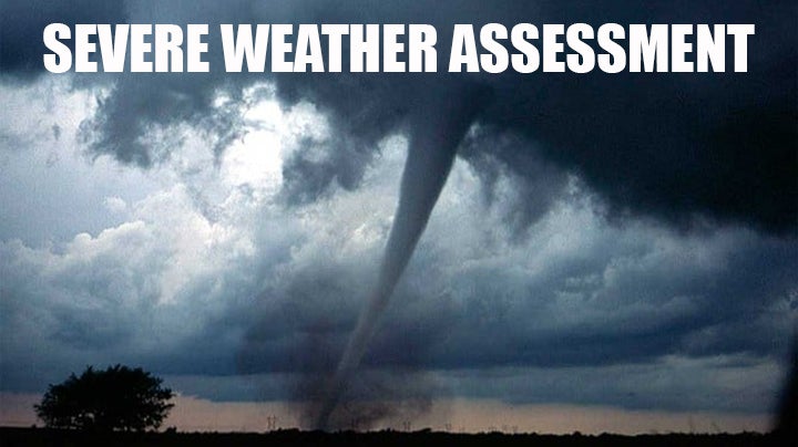
Severe storms, flash flooding threat elevated to enhanced risk
Published 12:13 pm Tuesday, December 13, 2022
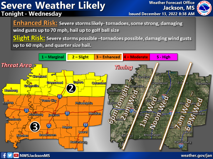
JACKSON — Storms are expected to move through Southwest Mississippi Tuesday night and arrive in Lincoln County around 1 a.m. Wednesday. These storms pose an enhanced risk to the area according to the NWS Jackson Office.
Enhanced risk means the area south of Yazoo City and from Concordia Parish, Louisiana to Meridian could see severe storms capable of producing tornadoes, strong and damaging winds up to 70mph and golf ball sized hail. It is expected to be in the Lincoln County area from 1a.m. to noon Wednesday.
Flash flooding is also an enhanced risk for the area. Lincoln County could see two to four inches of rain in about a three hour window. Locally higher amounts of 5-7 inches are possible. Low lying areas could see flooding as could local creeks and bayous. Some structures could face the threat of inundation.
Fortunately, Lincoln County is not at risk for strong winds Tuesday night as Central Mississippi could see damaging sustained winds of 20 to 25 mph with gusts as high as 40 mph.
With any weather event, the forecast could change as the storm develops. Stay tuned for more updates and information. If you see any damage, cool lightning, strong winds or hail please send videos and photos to news@dailyleader.com.
More News


-
Polls
 Loading ...
-
-