Severe weather today could bring hail, tornadoes
Published 6:57 am Saturday, January 21, 2017
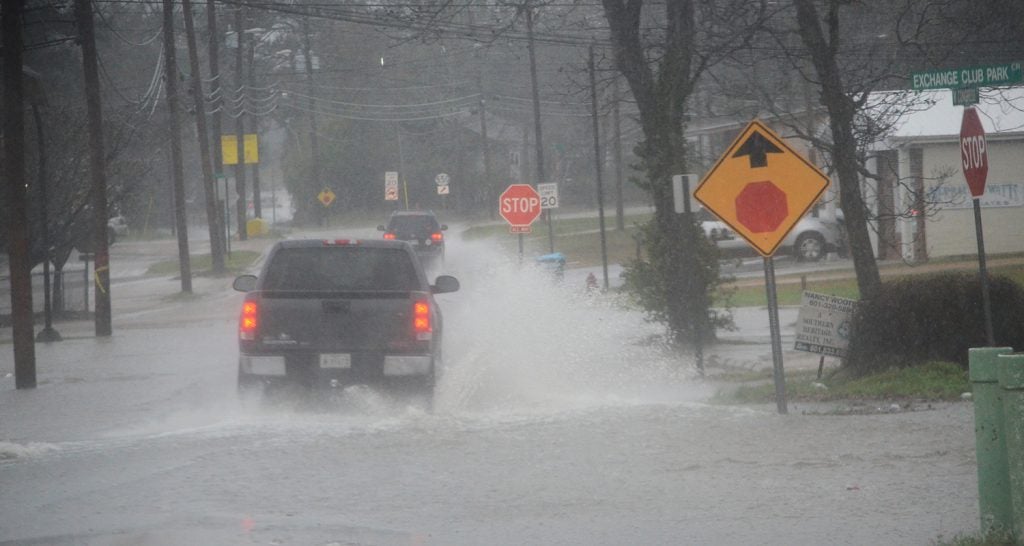
- A truck travels on a flooded street Thursday morning.
Southwest Mississippi is under the threat of severe weather with the possibility of tornadoes this morning, according to the National Weather Service. The threat for flooding is limited.
Torrential downpours will make localized flooding possible.
Severe thunderstorms are also a possibility tonight, starting in the early afternoon hours. NWS says the main risks will be hail up to quarter size and damaging winds up to 60 mph. “A few tornadoes cannot be ruled out,” according to the NWS website.
The Mississippi Emergency Management Agency is receiving reports of extensive damage from ongoing severe weather this morning.
Forrest, Lamar and Perry counties are all reporting structural damage. MEMA is coordinating response efforts.
Search and Rescue teams are being deployed to assist Forrest County emergency management in the Hattiesburg area.
The Mississippi Highway Patrol is reporting I-59 north of Hattiesburg is closed due to debris.
There are power lines and debris over a large area so the public is asked to avoid travelling.
Severe weather is still moving through the southeastern part of the state.
More News


SportsPlus
How to Watch the Braves vs. Phillies Game: Streaming & TV Channel Info for August 31
Marcell Ozuna and the Atlanta Braves hit the field on Saturday at Citizens Bank Park against Zack Wheeler,…
Braves vs. Phillies: Betting Preview for August 31
Atlanta Braves (74-61) will match up with the Philadelphia Phillies (79-56) at Citizens Bank Park on Saturday, August…
How to Watch MLB Baseball on Saturday, August 31: TV Channel, Live Streaming, Start Times
The Los Angeles Dodgers versus the Arizona Diamondbacks is one of many compelling options on today’s MLB schedule.…
How to Watch the WNBA Today | August 31
The Connecticut Sun versus the Washington Mystics is your one and only option on today’s WNBA slate. The…
WNBA Betting Picks: Saturday, August 31
Wondering how you should bet on today’s WNBA game? Look no further. Below you’ll find computer predictions on…
-
Polls
 Loading ...
-
-