Floods, wind pose threat to area starting Tuesday
Published 11:14 am Tuesday, April 9, 2024

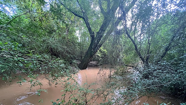
- This is the Bayou Pierre after heavy rainfall in Lincoln County in August 2022. Heavy rainfall could cause localized flash flooding and river flooding on bodies of water like the Bayou Pierre. (File Photo | The Daily Leader)
BROOKHAVEN — Severe storms could roll through southwest Mississippi today and into Wednesday bringing rainfall, wind, hail and a risk of tornadoes. Floods are also a concern according to the National Weather Service in Jackson.
Tuesday’s forecast calls for isolated severe storms with damaging wind gusts, hail up to a quarter in size and tornadoes can not be ruled out. Copiah and Jefferson Counties are colored in with a dark green with a flood watch due to the forecasted rainfall. Areas along the Pearl River in Lawrence County are under a flood warning starting Thursday according to the National Weather Service.
Minor flooding is forecast for the Pearl River near Monticello. At 24 feet, water starts to appear in low areas in the eastern parts of Monticello. The river stage Tuesday is at 10.5 feet. NWS Jackson forecasts the river will fall to 8.9 feet Wednesday before sharply rising Thursday morning by 10 feet. The Pearl River near Monticello is expected to rise above flood stage at 22 feet by Thursday evening and continuing to 24.5 feet Friday.
While Lincoln County is not under a flood warning at this time, it is placed under an elevated threat of flooding according to the National Weather Service. Forecasts show 2 to 5 inches of rain is possible with areas of flash flooding likely for the area. Some roads may become flooded and closed with some structures possibly threatened with inundation. Minor to moderate river flooding is possible for the area starting Tuesday into Wednesday evening.
The biggest weather threat for the region will not come until Wednesday. NWS Jackson placed Lincoln, Jefferson, Franklin, Copiah, Pike and Lawrence Counties under a moderate risk of severe storms. Damaging wind gusts could reach 80 mph with large hail up to golf ball size, tornadoes are likely with some possibly strong. Storms should move through the area between 11 a.m. to 4 p.m. Wednesday.
Check back for more updates as the weather moves through. We will provide updates before, during and after storms roll through the area. Please share any pictures, videos or tips about severe weather and storm damage by emailing news@dailyleader.com.


