Storm threat time window moves up Thursday evening
Published 5:02 pm Thursday, May 9, 2024
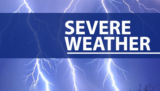
BROOKHAVEN — Weather forecasts of severe storm risks were upgraded. The National Weather Service in Jackson stated their radar was back online as well following technical difficulties.
Severe storms could move through Lincoln County Thursday evening into the wee hours of Friday morning. The window for the threat to move through Lincoln County is 9 p.m. to 1 a.m. Southwest Mississippi is shown to be at a enhanced risk right now.
NWS Jackson warns severe storms are possible, damaging wind gusts could reach 80 mph and large hail could be up to golf ball sized. Tornadoes can not be ruled out. We will provide updates as the storm develops. Rain chances are forecast to be 80 percent Thursday evening in Lincoln County and 30 percent during the day.
It has been nearly a month since the last tornado touched down in Mississippi on April 10. NWS Jackson records show 20 tornadoes have touched down in Mississippi this year. A majority of those tornadoes, 13 to be exact, touched down on April 9 and 10.
The National Oceanic and Atmospheric Agency is set to release an outlook for the Atlantic Ocean Hurricane Season on May 23.
Check back for more updates as this storm approaches. Stay weather aware. We will work to keep you informed before, during and after storms move through Lincoln County.
More News


SportsPlus
How to Watch MLB Baseball on Friday, July 26: TV Channel, Live Streaming, Start Times
The Cleveland Guardians and the Philadelphia Phillies hit the field in one of many exciting matchups on the…
How to Watch the Braves vs. Mets Game: Streaming & TV Channel Info for July 26
Charlie Morton will start for the Atlanta Braves in the second of a four-game series against the New…
Braves vs. Mets: Betting Preview for July 26
Francisco Lindor will lead the way for the New York Mets (54-48) on Friday, July 26, when they…
New Orleans Saints vs. Las Vegas Raiders Week 17 Tickets Available – Sunday, December 29 at Caesars Superdome
On Sunday, December 29, 2024, the Las Vegas Raiders (0-0) challenge the New Orleans Saints (0-0) at Caesars…
New Orleans Saints vs. Atlanta Falcons Week 10 Tickets Available – Sunday, November 10 at Caesars Superdome
A couple of NFC South rivals clash on Sunday, November 10, 2024 at Caesars Superdome when the New…
-
Polls
 Loading ...
-
-